Do You Need GPS on a Fish Finder for Indiana Lakes?
It can be really daunting trying to figure out what gear you truly need for fishing Indiana's diverse lakes, especially when you're looking at fish finders with all their bells and whistles. You see terms like "GPS integration" and wonder if it's just another expensive feature or something that will genuinely elevate your time on the water. This guide is here to cut through the confusion and help you decide if a GPS-enabled fish finder is a must-have for your Indiana fishing adventures, or if you can happily cast away without it.
Understanding What GPS Brings to Your Fish Finder
Let's be honest, technology in fishing gear has come a long way, and sometimes it feels like you need a degree just to understand what all the buttons do. When we talk about GPS on a fish finder, we're not just talking about telling you where you are on a map, though that's certainly part of it. We're talking about a powerful tool that can transform how you navigate, locate, and return to productive fishing spots.
The Basics of GPS and Waypoints
At its heart, GPS, or Global Positioning System, uses satellites to pinpoint your exact location on the planet. When integrated into a fish finder, this means your boat's position is displayed directly on the screen, often overlaid on a basic map. But the real magic, the thing that serious anglers often crave, is the ability to mark "waypoints." A waypoint is essentially a digital breadcrumb, a saved location. Think about that time you accidentally drifted over a brush pile on Monroe Lake and pulled up a monster bass, only to realize you had no idea how to get back to that exact spot. With GPS, you could have marked that brush pile instantly.
These waypoints aren't just for fish-holding structure. You can mark your favorite boat ramp, a submerged hum, a weed line, or even a tricky sandbar you want to avoid. It’s like having a perfect memory for every nook and cranny of the lake. This capability can save you countless hours of searching and revisiting unproductive water, especially on larger bodies of water like Patoka Lake or Lake Wawasee, where finding specific spots again can be a real challenge.
Mapping and Navigation Features
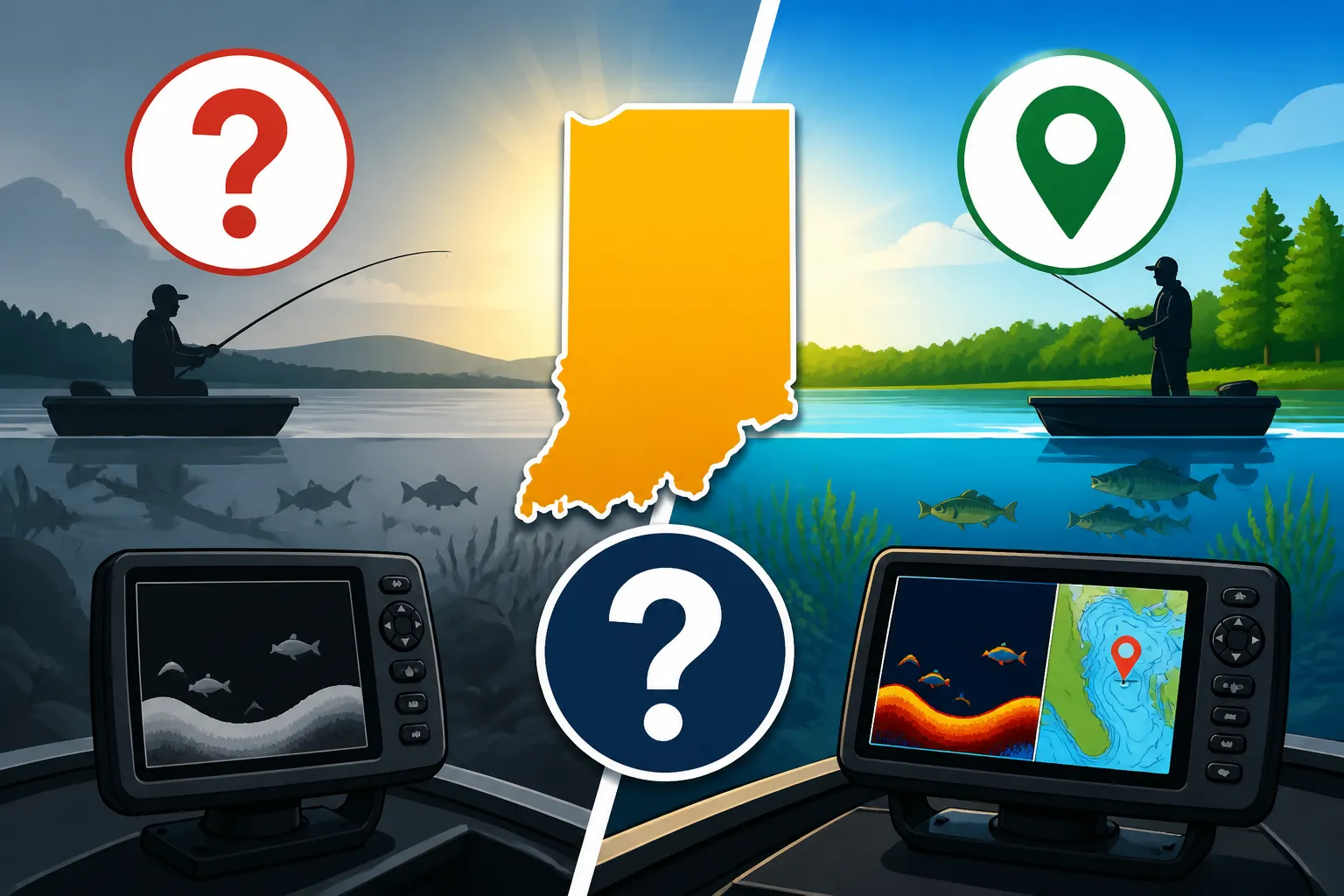
Beyond simple waypoints, many GPS fish finders offer more advanced mapping capabilities. Some come pre-loaded with detailed lake maps, showing contours, depths, and navigation markers. These charts can be incredibly helpful for understanding the underwater topography without blindly idling around. Imagine being able to see a sharp drop-off or a submerged roadbed on your screen before you even get there – that's the power of good mapping.
These maps allow you to do more than just mark spots; they let you plan your attack. You can plot a course to run along a specific contour line, or create a series of waypoints to follow a known migration route for walleye. For anglers exploring new waters, or those wanting to maximize their time on familiar lakes, these navigation features can be a game-changer. They provide a visual representation of the underwater world that sonar alone can't always convey, helping you identify potential fish habitat more efficiently.
When GPS is a Game-Changer on Indiana Lakes
While some anglers might argue that a basic fish finder is enough, there are definitely situations and types of fishing on Indiana lakes where having GPS functionality isn't just nice to have – it's practically essential.
Navigating Large or Unfamiliar Waters
Indiana boasts some truly expansive lakes, from the vast stretches of Monroe Lake to the complex shoreline of Patoka. If you're heading out on one of these behemoths for the first time, or even if you've only fished a small section, a GPS-enabled fish finder can be your best friend. Trying to navigate by landmarks alone on a foggy morning, or returning to a precise spot after a long drift on a 10,000-acre reservoir, can be frustrating and unproductive.
With GPS, you can confidently motor to a specific cove you saw on a map, know your exact position relative to the nearest boat ramp, and even track your path back if you've explored new territory. This is particularly useful for tournament anglers who need to quickly locate and relocate hot spots, or for casual anglers who simply want to spend more time fishing and less time worrying about getting lost or finding their way back. Think about those chilly mornings on Lake Michigan, chasing salmon – knowing your exact coordinates relative to a known bait school or depth contour can make all the difference. Lake Michigan Fishing Rules for Indiana Anglers are different, and so is the scale of the water, making GPS even more valuable.
Marking and Returning to Productive Spots
This is arguably the most compelling reason for most anglers to invest in GPS. We all have those moments: you're casually casting, and BAM! A trophy bass hits right on a hidden stump. Or you drift over a school of crappie suspended just off a channel edge. Without GPS, you might try to line up trees on the shoreline, but the chances of getting back to that exact sweet spot are slim.
With GPS, a quick tap of a button marks that precise location as a waypoint. You can then drift back, re-position, or return to it next week, next month, or even next year. This is invaluable for pinpointing brush piles, rock formations, humps, creek channels, and even specific submerged timber where fish are holding. For anyone serious about pattern fishing, finding structure, or revisiting success, the ability to store and navigate back to countless waypoints is paramount. This can significantly reduce your "dead time" on the water and keep you casting in high-probability areas.
Safety and Emergency Navigation
While we all hope for smooth sailing, unexpected things can happen on the water. Fog can roll in quickly, darkness can fall faster than anticipated, or an engine issue might leave you adrift. In these situations, a GPS unit on your fish finder becomes a critical safety tool. Knowing your precise coordinates can be vital for emergency services to locate you, or for you to navigate back to safety if visibility drops.
It allows you to follow a track back to where you launched, even if you can't see the shore. It can help you steer clear of dangerous shallow areas or underwater hazards you've marked previously. While dedicated marine GPS units offer even more robust safety features, having basic GPS capabilities on your fish finder is a significant step up from relying solely on visual cues and can provide immense peace of mind, especially when you're exploring Indiana's Best Remote and Uncrowded Fishing Spots.
Alternatives and How to Navigate Without GPS
So, what if a GPS-enabled fish finder isn't in the budget right now, or you simply prefer a more traditional approach? Don't worry, you can still have incredibly successful and enjoyable fishing trips on Indiana's lakes without it.
Relying on Visual Cues and Shoreline Features
Before GPS was commonplace, anglers successfully navigated and found fish for generations using their eyes and local knowledge. This skill is still incredibly valuable today. Learning to read the shoreline, identifying distinct trees, rock formations, buildings, or even buoys, can help you triangulate your position.
For instance, if you caught fish off a point on Lake Monroe, you might line up a tall oak tree with a specific dock on one side, and a distant water tower with a bend in the shoreline on the other. This takes practice and keen observation, but it's a fundamental angling skill. It works best on smaller, more familiar bodies of water where landmarks are consistent and easily recognizable. On larger lakes, however, the sheer scale and lack of distinct features can make this method less reliable for finding exact spots.
Paper Maps and Chartbooks
Old-school, but still effective! Many bait shops and outdoor retailers, or even online sources, offer detailed contour maps of popular Indiana fishing lakes. These paper maps show depths, submerged features, and navigation points. You can study these maps before you go, marking areas of interest with a pen, and then use them on the water in conjunction with your basic fish finder.
While not as precise as digital GPS, a good contour map can give you a fantastic overview of the lake's structure. You can use your fish finder to confirm depths and locate specific humps or channels that you've identified on the map. It requires more manual effort and doesn't allow for instantaneous waypoint marking, but it's a time-tested method for understanding the underwater landscape. Just make sure to keep them in a waterproof bag! You might find some excellent map options for Indiana's Top Fishing Lakes at your local bait shop or even browsing through Amazon for specialized publications.
Smartphone Apps
This is the modern angler's answer to budget-friendly navigation. There are numerous smartphone apps available that offer detailed lake maps, GPS tracking, and waypoint marking capabilities, often for a fraction of the cost of a dedicated GPS fish finder. Apps like Navionics, C-MAP, or even Google Maps (for basic navigation) can turn your phone into a powerful navigation tool.
The downside? Your phone's battery life might not last an entire day, and phone screens can be difficult to see in bright sunlight or when wet. You'll need a robust, waterproof case and a reliable power bank if you plan to rely on your phone. Also, phone GPS can sometimes be less accurate than dedicated marine GPS units, especially in areas with poor cellular reception. However, for many anglers, this is a perfectly viable and cost-effective solution, especially for Kayak Fishing Setup Tips for Indiana Anglers where space and power are at a premium.
Making Your Decision: Factors to Consider
So, after weighing the pros and cons, how do you decide if GPS is right for your Indiana fishing style? It really boils down to your specific needs, where you fish, and your budget.
Your Fishing Style and Frequency
Are you a casual angler who enjoys a few hours of relaxation in a familiar spot a few times a year? Or are you a dedicated enthusiast who spends every available weekend exploring new waters, chasing specific species, and refining your techniques?
If you're the former, fishing smaller, local ponds or familiar stretches of a river, a basic fish finder might be all you need. You've probably got those spots memorized, or you're just happy to catch whatever bites. But if you're the latter, especially if you target specific structure-oriented fish like bass or walleye, or you like to run and gun across a large reservoir, then GPS is likely to be a massive advantage. The ability to mark, store, and return to hundreds of precise locations will dramatically improve your efficiency and success.
The Types of Water You Fish
The size and complexity of the Indiana lakes you frequent play a huge role. Fishing a 10-acre farm pond is vastly different from navigating the sprawling main basin of Lake Monroe or the deep, glacial waters of Lake Wawasee.
| Factor | Small/Familiar Water | Large/Unfamiliar Water |
|---|---|---|
| Navigation | Visual cues often sufficient | GPS highly recommended |
| Spot Finding | Rely on memory, landmarks | GPS essential for precision |
| Safety | Lower risk of getting lost | GPS improves situational awareness |
| Mapping Needs | Basic contours, if any | Detailed charts are a huge plus |
| Cost Justification | Lower, often unnecessary | Higher, often worth the investment |
As you can see from the table, the larger and more complex the body of water, the more beneficial a GPS-enabled fish finder becomes. If you're tackling Indiana's Best Lakes for Fishing like Patoka, Brookville, or even Lake Michigan, GPS will be a serious asset.
Budget Considerations
This is often the sticking point for many anglers. Fish finders with integrated GPS and detailed mapping capabilities typically come with a higher price tag than basic sonar units. It's an investment, for sure. You'll find a wide range of options when you start looking, from entry-level models that offer basic GPS and mapping to high-end units with enormous screens, side imaging, and ultra-high-definition mapping.
It's worth considering how much you're willing to spend versus the value you'll get. If you're on a tight budget, remember those smartphone apps or paper maps as viable alternatives. However, if your budget allows, and you value the precision, time-saving, and safety benefits, the investment in a quality GPS fish finder can pay dividends in fishing success and enjoyment. Many anglers start their search by looking at reputable brands found at retailers like Bass Pro Shops or exploring the vast selection and user reviews on Amazon. Don't forget to factor in the potential cost of additional map chips if your chosen unit doesn't come with the specific lake maps you need.
Ultimately, whether you need GPS on your fish finder for Indiana lakes depends on how you fish and where you fish. For many, it's become an indispensable tool that makes fishing more efficient, more productive, and certainly safer. For others, the traditional methods and a keen eye are more than enough. The choice is yours, angler!
Disclaimer
This article is for general informational purposes only and does not constitute professional advice. Laws, prices and regulations vary by location and change over time. Consult a qualified professional for guidance on your specific situation.